A SOUTH PACIFIC FIELD JOURNAL
Royal Sunset
An island in the light
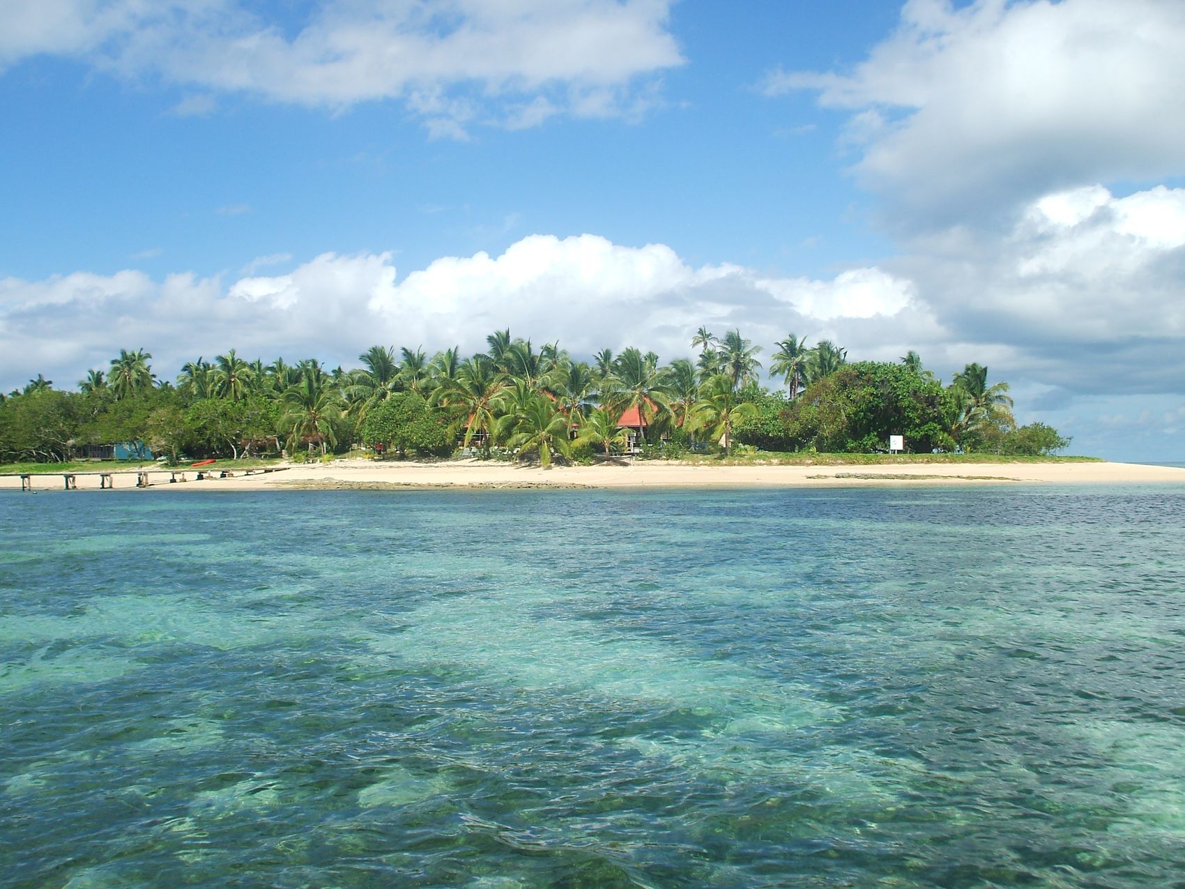
A journey to ʻAtata, Tonga, and the shoreline once home to Royal Sunset.
A JOURNAL OF PLACE
At first, only water.
A dozen kilometres from Tonga’s capital, people once crossed to ʻAtata to fish, see relatives or spend the night in a fale. A reef, a village and a small resort shared the same shore. Their histories lead out into the wider Pacific.
01 / THE APPROACH
From trench to island
Tonga runs north to south along an underwater ridge. A deep trench lies to the east and an active volcanic arc to the west. Between them are ʻAtata and the kingdom’s other islands.
Open the atlas

02 / THE ISLAND
Through the palms
The sea was part of the working day on ʻAtata. Families fished, some earned wages at Royal Sunset, and the village helped look after an offshore reserve.
Read the coastline

03 / THE OCEAN
Below the bright line
A reef grows from the skeletons of tiny animals. Its branching colonies make shelter for fish and other animals. Over time, some of that limestone becomes sand.
Below the surfaceTHE FORMER RESORT
The boat to Royal Sunset
A crossing from Nukuʻalofa, fale on two shores, and the village life that gave ʻAtata its character.
Read the story04 / THE ATLAS
A coast in context
Follow the kingdom from the harbour of Nukuʻalofa to the reefs of Haʻapai, the channels of Vavaʻu and the remote Niuas. The southern cluster is where the story of ʻAtata begins.
Explore the atlasTHE READING ROOM
The journal


AFTER THE TSUNAMI
The village on the other shore
In 2022 the Hunga eruption and tsunami forced families to leave ʻAtata. On Tongatapu they gave their new village a related name, ʻAtatā Siʻi. Reliable water and work were among the things they had to arrange anew.
Read the chronology
05 / THE LAST LIGHT
When the light turns
The old resort took its name from the evening. Its western fale looked toward sunset. Across the island, the eastern rooms caught a different hour of the day.
Return to the shore